
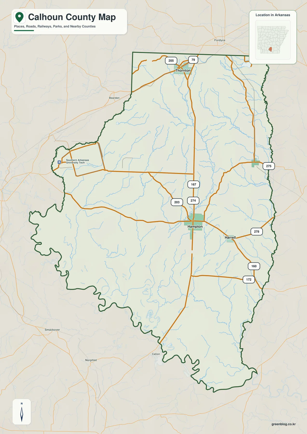
Calhoun County, Arkansas offers a diverse landscape centered around the county seat of Hampton, characterized by winding waterways, sparse settlements, and distinct elevation changes. From the rolling northern ridges to the low southern plains, this region provides unique geographic features for study and navigation.
Settlements and Transportation Networks
Hampton serves as the primary anchor for the county's transportation grid, situated along Highway 167 which runs north-south. Key neighboring communities include Harrell to the east via Route 278, Tinsman in the northeast, and Thornton further north near Routes 79 and 205. While Hampton is the county seat, the settlement pattern remains sparse, with major towns separated by wide areas of lightly settled land. Direct straight-line distances between these hubs are approximately four miles for Harrell, ten miles for Tinsman, and seventeen miles for Thornton, though actual driving routes may vary due to road curvature.
Hydrology and Topographical Features
Water bodies dominate the southern and western portions of the county, featuring a complex network of creeks, sloughs, and lakes. Champagnolle Creek flows southward from the interior, feeding into a cluster that includes Long Lake and Long Lake Slough. Other significant water features include Little Champagnolle Creek to the north, Whitewater Creek on the east, and Tri County Lake near the northeastern edge. The terrain itself varies significantly in elevation, ranging from roughly 21 meters in the south to 121 meters in the northeast, with a mean height near 52 meters. This relief creates a clear contrast between the broad lowlands and the higher ridges found in the northern interior.


0 댓글