
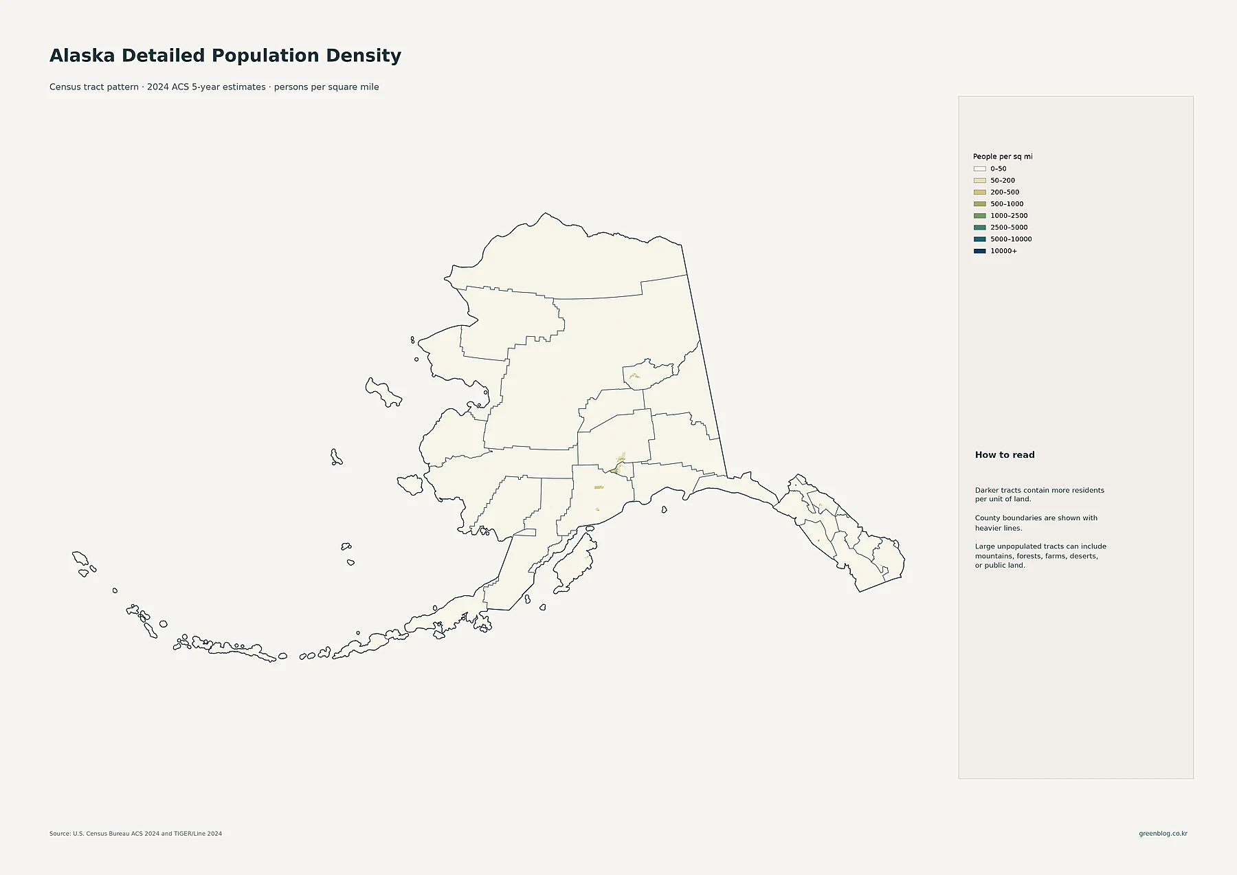
Alaska's vast geography often obscures where people actually live, but detailed 2024 data reveals a landscape dominated by Anchorage, with distinct clusters in Fairbanks and Southeast Alaska, while northern regions remain extremely sparsely populated.
Local Density vs. Total Population: The Anchorage Contrast
While the state's average density appears low due to its massive land area, specific census tracts show extreme concentration. The Anchorage region stands out as the primary population hub, with a 2024 ACS estimate of 288,976 residents in this single place, dwarfing others like Fairbanks (32,083) and Juneau (31,794). However, total borough populations tell a different story; Matanuska-Susitna holds 112,988 people despite being smaller than Anchorage's footprint, whereas the North Slope borough contains only 10,810 residents across a huge northern territory. This disparity highlights that physical size does not correlate with population volume, as Anchorage packs over a quarter million into a compact area while vast regions remain nearly empty.
Analyzing Growth and Administrative Boundaries
Comparing the 2010 to 2020 period helps distinguish population growth from current totals, revealing how settlements have evolved. The data utilizes 2024 ACS five-year estimates to provide accurate place counts, noting that urban footprints may differ slightly from census boundaries. Major centers like Knik-Fairview (19,972) and Bethel serve as significant secondary hubs, while the map clarifies that density is not uniform even within administrative units. By separating local density maps from total population circles, readers can better understand why some large areas are sparsely populated and how specific tracts drive the state's demographic picture.


0 댓글