
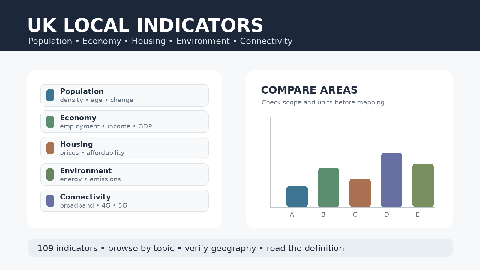
The Office for National Statistics maintains a comprehensive directory of 109 local measures designed to help researchers and planners select the most appropriate statistic for their specific geographic area. This official index organizes data into distinct themes, ensuring users can find reliable metrics ranging from population density to digital connectivity without confusion.
Understanding the Indicator Directory
Rather than presenting a single map with every available statistic, ONS Explore Local Indicators functions as a curated directory. Users can navigate through ten major themes including population, economy, housing, health, environment, and connectivity. Each theme offers a short definition alongside the indicator name, clarifying whether the data represents a count, percentage, rate, or monetary value. For instance, the Economy section details employment rates and GDP, while Housing provides average prices and affordability ratios. Crucially, many measures are geographically specific, with separate listings for Great Britain, Northern Ireland, England, Wales, or Scotland, meaning users must verify the scope label before proceeding to detailed views.
Selecting and Comparing Data Carefully
To find the right metric, start by reading the one-line definition provided in the index to understand if the measure is a count per population or an average. It is vital to remember that being listed on the same index does not make two series directly comparable; for example, total population and population density use different units and concepts. When planning a project involving multiple indicators, verify that their geography and time coverage are compatible before using them in a comparison. Useful starting points for spatial analysis include population density, which accounts for area size, or greenhouse gas emissions defined per person. However, users must remain aware that these 109 indicators do not all cover the same territory, so checking the specific geographic qualifier is the most important step to ensure data accuracy.


0 댓글