
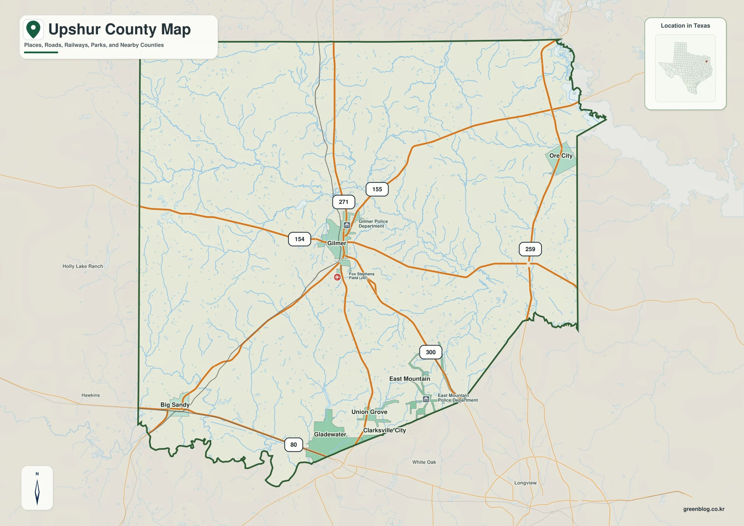
Upshur County in Texas features a compact settlement pattern anchored by Gilmer, surrounded by significant communities like Big Sandy and Ore City. The region is defined not just by its road network but by an intricate drainage system centered on Little Cypress Creek, which carves through rolling uplands and valleys. Understanding the interplay between these waterways, elevation changes, and town locations provides a clear picture of the county's unique landscape.
Road Networks and Community Rankings
Gilmer serves as the primary road anchor for the county, situated near the center where major routes like US 271 intersect with paths 154, 155, and 259. While Gilmer holds a central geographic position, Gladewater ranks first in population metrics among the six key communities identified: Gladewater, Gilmer, Big Sandy, East Mountain, Ore City, and Union Grove. Big Sandy lies near the southwestern corner, while Ore City is positioned well to the northeast. The southern boundary features Gladewater, followed by Union Grove and East Mountain. Surrounding counties such as Camp, Morris, Harrison, Marion, Wood, Gregg, Smith, and others provide regional context, highlighting Gilmer's relative centrality despite not being the most populous city.
Waterways and Elevation Profiles
Little Cypress Creek acts as the main interior water reference, crossing the central region and collecting numerous smaller tributaries that divide the rolling terrain. Other notable water features include Kelsey Creek in the central-western valley, Mill Creek running north-south on the eastern side, and Caney Creek entering from the northwest. Several lakes mark specific locations, including Grassy Lake in the north, Tullos Lake in the west-central interior, and Shelton Lake southeast. The elevation map reveals a range of approximately 70 to 206 meters, with a mean of 113 meters. Stronger high ground appears along the western side and east-central areas, contrasting with a broad green low corridor cut by creek valleys in the middle.


0 댓글