
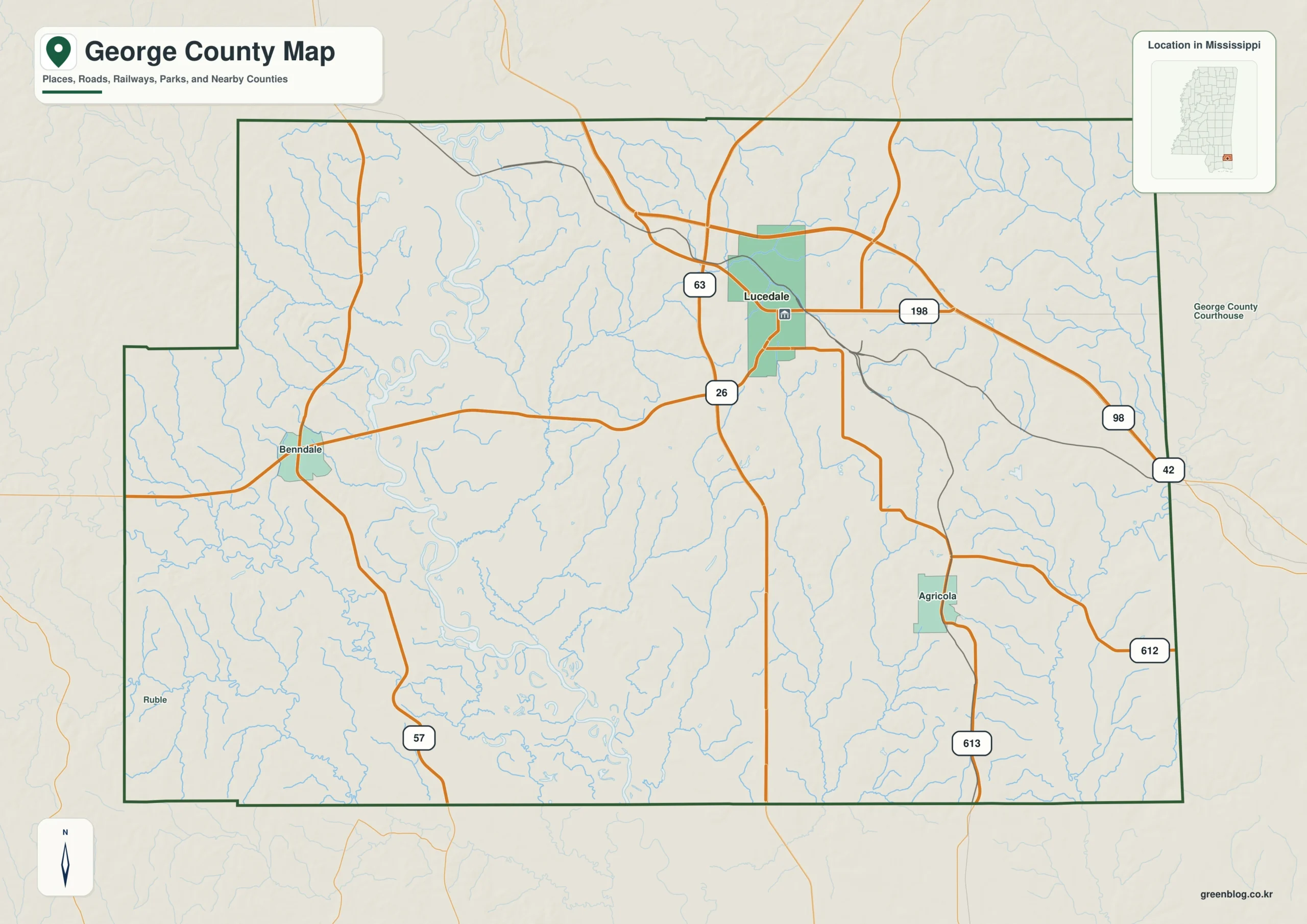
George County in southeastern Mississippi offers a distinct landscape where the road network concentrates around Lucedale, while the terrain shifts dramatically from western river lowlands to eastern hills. This region is defined by major waterways like the Pascagoula and Escatawpa rivers, creating a varied environment that ranges from broad green valleys to dissected ridges.
Lucedale as the Geographic and Transportation Center
The county's infrastructure is anchored in Lucedale, which serves as the primary hub for travel and administration. Major routes such as US 98 run east-west through the area, intersecting with state highways MS 26 and MS 63 near the city center. While other settlements like Benndale and Agricola exist on the map, Lucedale stands out as the only ranked major city with a population of 2,995. The county's shape is irregular, featuring a pronounced step on the western boundary and a relatively straight eastern edge bordering Alabama. Lucedale sits closer to the northern and eastern limits, leaving vast rural expanses in the southwest and west.
Terrain Contrast: Low Valleys Meets Eastern Hills
The physical geography of George County is characterized by a sharp contrast between its western and eastern halves. The western side is dominated by the Pascagoula River system, featuring broad lowlands that support several named lakes such as Black Lake and Wells Lake. In comparison, the eastern half becomes increasingly hilly and dissected, with elevations rising to approximately 99 meters near the Escatawpa River corridor. The elevation data reveals a mean height of roughly 39 meters across the county, highlighting how the landscape transitions from flat river corridors to rugged terrain without reaching mountainous heights.


0 댓글