
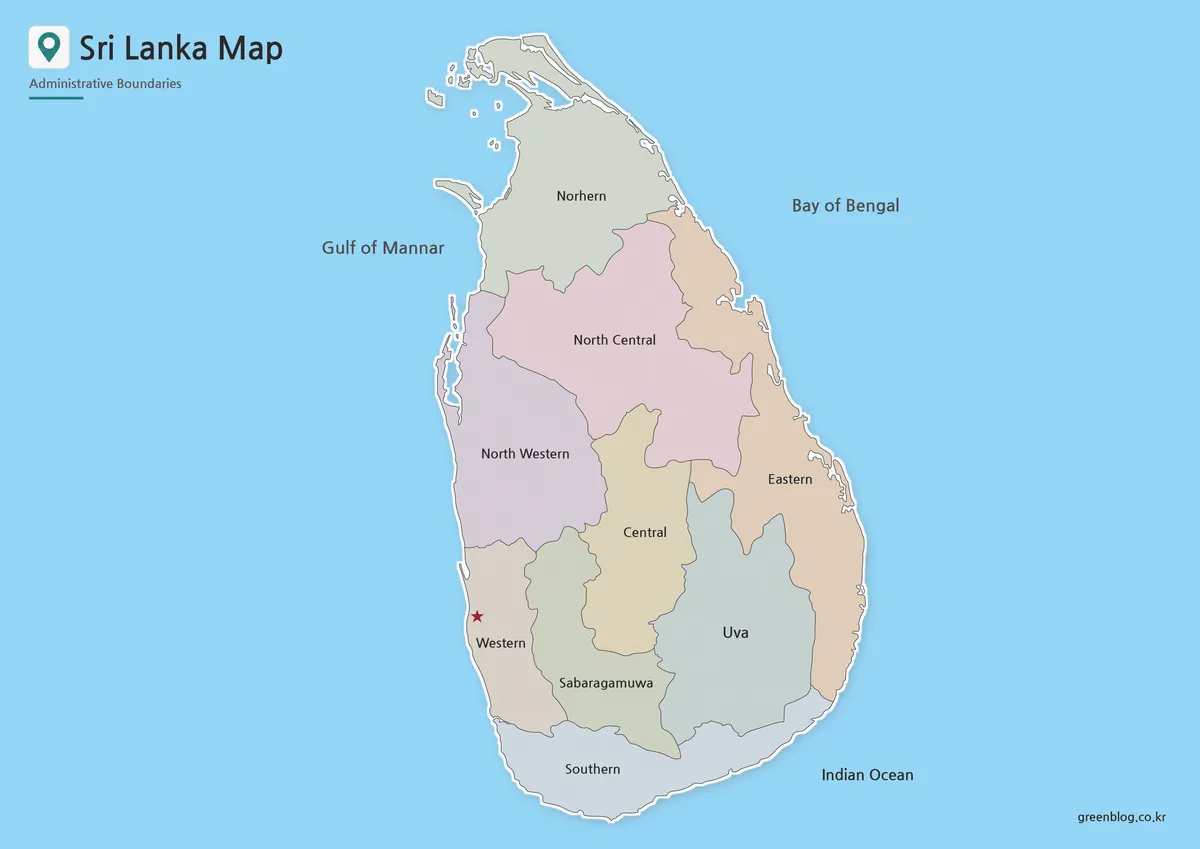
A clear visual representation of Sri Lanka is essential for explaining its location in the Indian Ocean, understanding its regional structure, or planning travel routes. While a simple location image suffices for general recognition, specific needs like comparing administrative areas or preparing classroom materials require more detailed resources.
Map Collection Overview and Technical Specifications
This resource set provides high-resolution A3 JPG files in four distinct versions: a regional color map, a basic map, a black and white printable version, and a blank outline map. Designed with readability as the primary focus rather than complex terrain detail, these maps feature clean island shapes with adjusted internal divisions for easier viewing. The color version separates regions quickly using moderate tones to prevent text from disappearing into the background, while the black and white and outline versions are optimized for printing, note-taking, and custom graphic editing. Each version maintains the same overall proportion, allowing users to switch styles based on their project requirements.
Practical Applications Across Different User Groups
The collection serves diverse audiences, from teachers creating handouts to bloggers writing country introduction posts and designers building infographics. The color map aids in visualizing South Asia comparisons and identifying Colombo with its red star icon, while the black and white version supports student activities like drawing travel routes or labeling ocean areas. The blank outline map offers a practical base for adding custom labels, statistics, or tourism points without pre-existing text. Additionally, a high-resolution Sri Lanka flag image is included to complete country reference layouts in blog posts, school projects, and printable information sheets.


0 댓글