
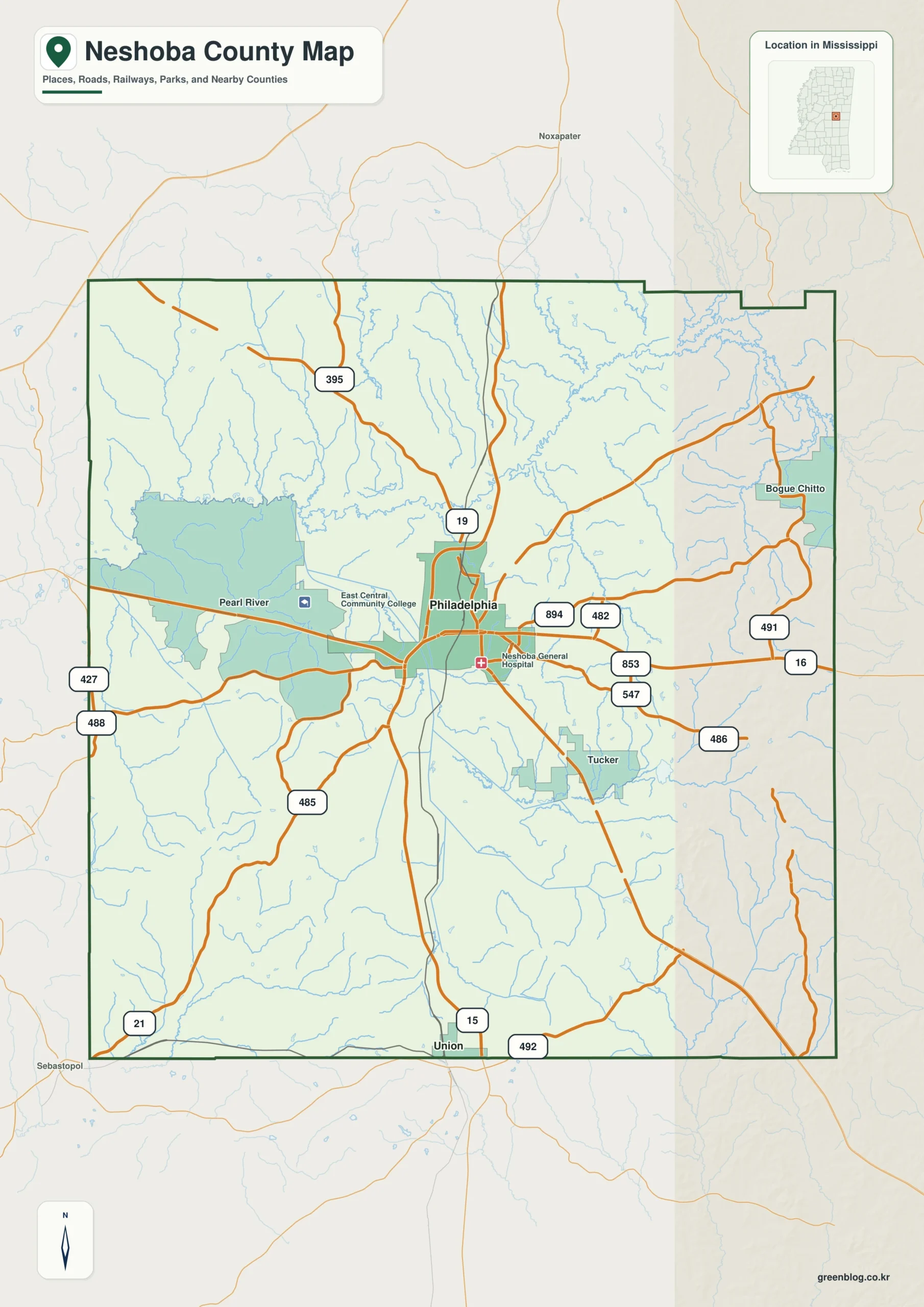
Explore Neshoba County through four high-resolution maps centered on Philadelphia, the county seat, which anchors the road network near the center. These resources distinguish between urban concentration, water systems like the Pearl River, and elevation changes along the eastern hills.
Urban Layout and Geographic Context
The general map highlights Philadelphia as the primary reference point for navigating the county's road system, where routes such as MS 15, MS 16, MS 19, and MS 21 converge. While Union appears near the southern boundary, other communities like Pearl River, Tucker, and Bogue Chitto provide essential orientation points. It is important to note that shaded areas on this map do not represent precise legal or tribal boundaries; for jurisdictional details regarding the Mississippi Band of Choctaw Indians, official sources are required. The city index further clarifies Philadelphia's status with a population value of 6,996, identifying it as the sole major urban center in this specific dataset. Surrounding labels for Winston, Kemper, Lauderdale, Scott, Attala, Leake, and Newton counties help place Neshoba County within east-central Mississippi without needing a statewide map.
Water Systems and Topographical Relief
The water map shifts focus to the Pearl River system, featuring prominent creeks like Bogue Chitto Creek in the northeast and Owl Creek along the eastern side. Numerous small lakes, including Barrett Lake, Mud Lake, Burnside Lake, American Legion Lake, House Lake, and Joyner Lake, serve as key landmarks across the rolling landscape. The elevation map complements this by revealing stronger relief along the eastern and southeastern sides of the county, where hills rise above lower valleys. Together, these layers allow users to separate the locations of roads and communities from natural water features and terrain height, ensuring accurate interpretation for planning or educational purposes.


0 댓글