
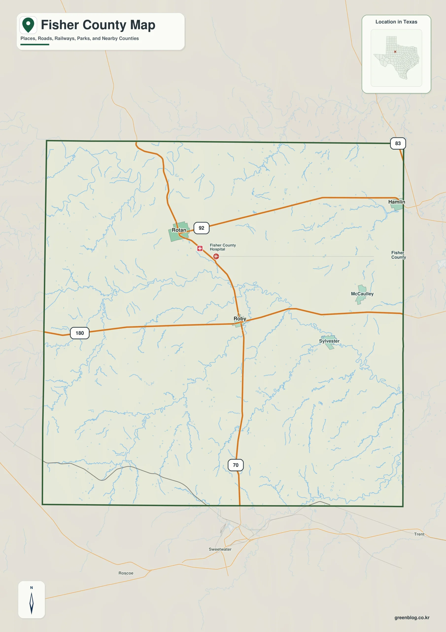
Fisher County in west-central Texas is defined by its scattered communities rather than a dense urban corridor, with elevation dropping from the high western uplands toward the eastern lowlands. Understanding the relationship between major highways, the branching creek network, and the distinct terrain requires reading three specific map types that highlight different geographic features.
Roads and Settlement Patterns
The county's layout is organized around two primary cities, Roby and Rotan, which serve as central reference points for the road network. U.S. 180 runs east-west through the center of the county, intersecting State Highway 70 at Roby, while SH 70 connects to Rotan in the northwest via a junction with SH 92. This highway system links major communities like McCaulley and Sylvester, though these settlements are spaced widely apart rather than forming a continuous belt. The city map specifically highlights this diagonal relationship between the two hubs, showing that the landscape is shaped by open land and smaller local routes rather than a single straight settlement strip.
Water Systems and Topography
Hydrology and elevation define the physical character of the region, with the Clear Fork Brazos River bending through the north-central area alongside numerous named creeks such as Alkali Creek, Cottonwood Creek, and Plum Creek. The terrain exhibits a significant slope, rising to a range of 524 to 735 meters in the west and southwest before falling toward the east. This topographic gradient is visible on the elevation map through color shifts from brown ridges in the highlands to green valleys in the lower eastern sections. While the water map details the drainage corridors, it is important to note that these resources are for general geographic comparison rather than engineering or flood-zone analysis.


0 댓글