
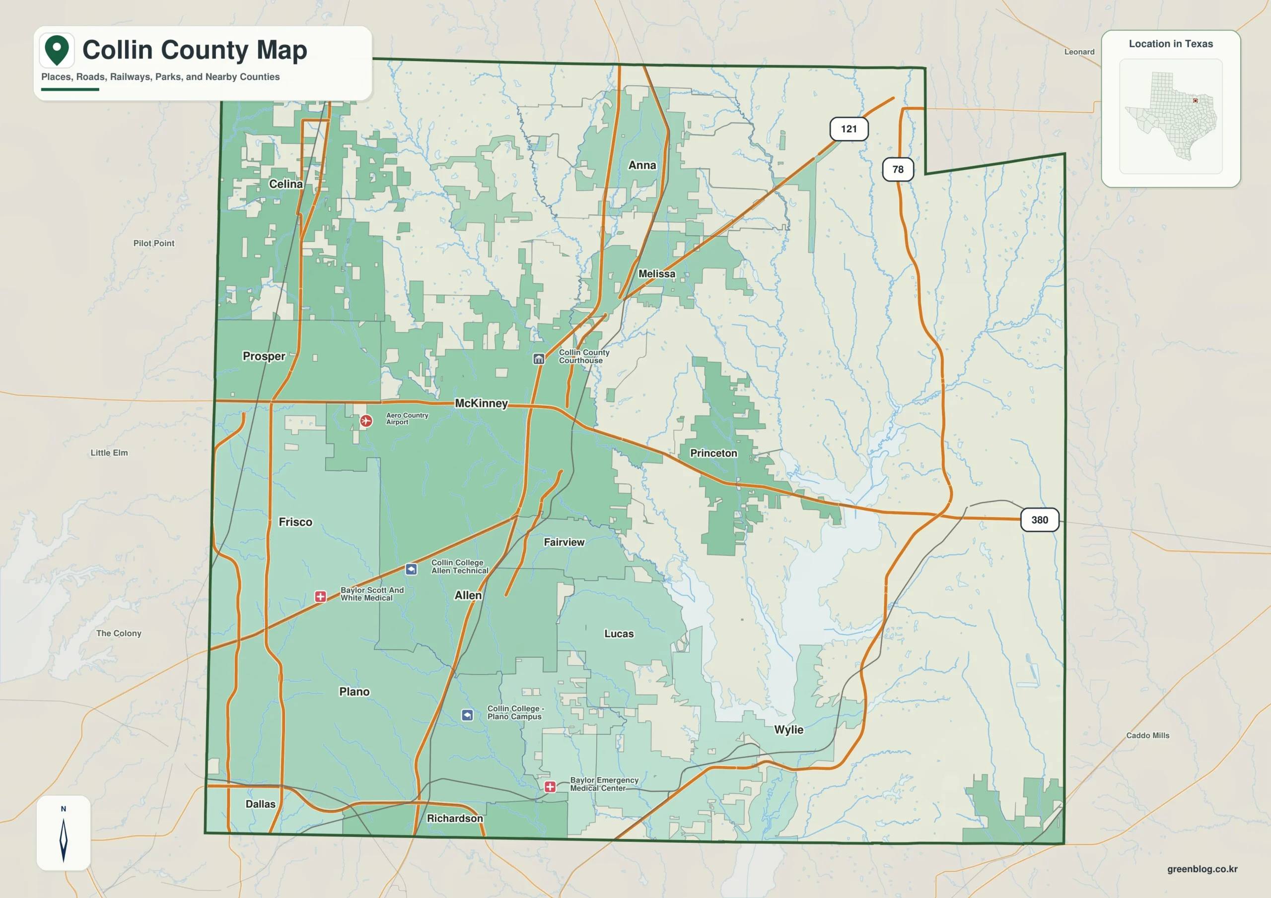
Collin County in North Texas presents a striking geographical contrast, blending dense suburban clusters with expansive lake-and-creek landscapes. The region transitions sharply from the urbanized western ridges to the lower drainage country surrounding Lavon Lake.
Urban Centers and Topographical Shifts
The county's layout is anchored by major cities like Plano, Frisco, Allen, and McKinney in the west and center, while Princeton and Wylie sit closer to the Lavon Lake Basin. Elevation varies significantly, ranging from approximately 132 meters near the lake to about 250 meters on the western ridges, with a mean height of 189 meters. This topographical difference is visually represented in high-resolution maps available for download, which highlight how higher western areas give way to lower valleys eastward. McKinney serves as a central reference point, connecting the Plano–Allen corridor with Frisco and Princeton, whereas the eastern half opens into rural spaces dominated by water features rather than road networks.
Water Systems and Drainage Patterns
Lavon Lake acts as the dominant feature in the southeastern interior, receiving long drainage lines from the north and northwest via the East Fork Trinity River. Key waterways such as Honey Creek, Sister Grove Creek, and Pilot Grove Creek carve out distinct corridors through the landscape, particularly east of Princeton. These blue drainage lines create a visual structure that contrasts sharply with the urban road layers found in the southwest. The presence of reservoirs like Muddy Creek Reservoir and nearby lakes further defines the southeastern county's character, emphasizing the region's shift from continuous settlement to open, water-rich terrain.


0 댓글