
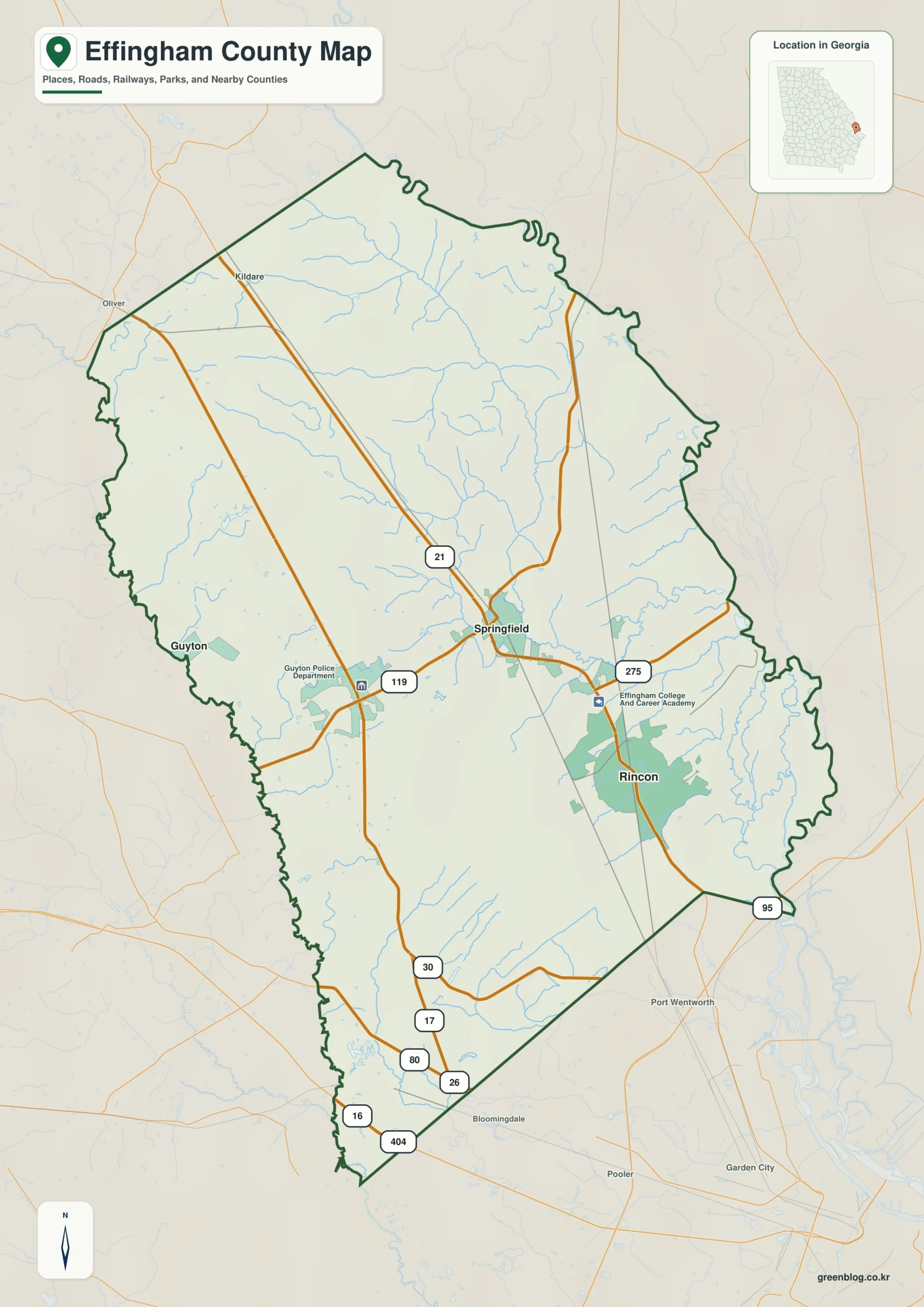
Effingham County in eastern Georgia offers a diverse landscape that shifts dramatically depending on the lens through which you view it. Situated near the Savannah metropolitan area, this long and narrow county is defined not just by its cities of Springfield, Rincon, and Guyton, but by a complex network of waterways and significant elevation changes from the northwest to the southeast.
Navigating Cities and Waterways
The county's geography is best understood through four distinct map views that highlight different features. A road-and-place map places Springfield near the center, with Rincon to the southeast and Guyton to the west, connected by major routes like 21, 95, and 30. While Springfield serves as the administrative county seat established in 1777, the city map reveals Rincon as the larger population hub with over 11,000 residents, situated roughly seven miles from Springfield. In contrast, a water-focused view strips away road details to reveal the Ogeechee River system and Ebenezer Creek, showing how dense creek networks concentrate toward the lower eastern ground. This perspective clarifies why the southeastern part of the county is vital for regional commuting despite being administratively distant from the county seat.
Understanding Terrain and Elevation
The final perspective comes from an elevation map that illustrates a modest but distinct topographical range between -6 and 48 meters. The northwest is dominated by higher brown and tan terrain, while the southeast features lower green valleys where stream corridors are most extensive. This visual contrast explains why the landscape feels different across the county; narrow low valleys cut through the broader high surface in the north before expanding into deeply dissected creek country in the east. Reading these four views together provides a much clearer picture of Effingham County than any single general-purpose map could offer, revealing how urban centers, water systems, and elevation interact to define the region's character.


0 댓글