
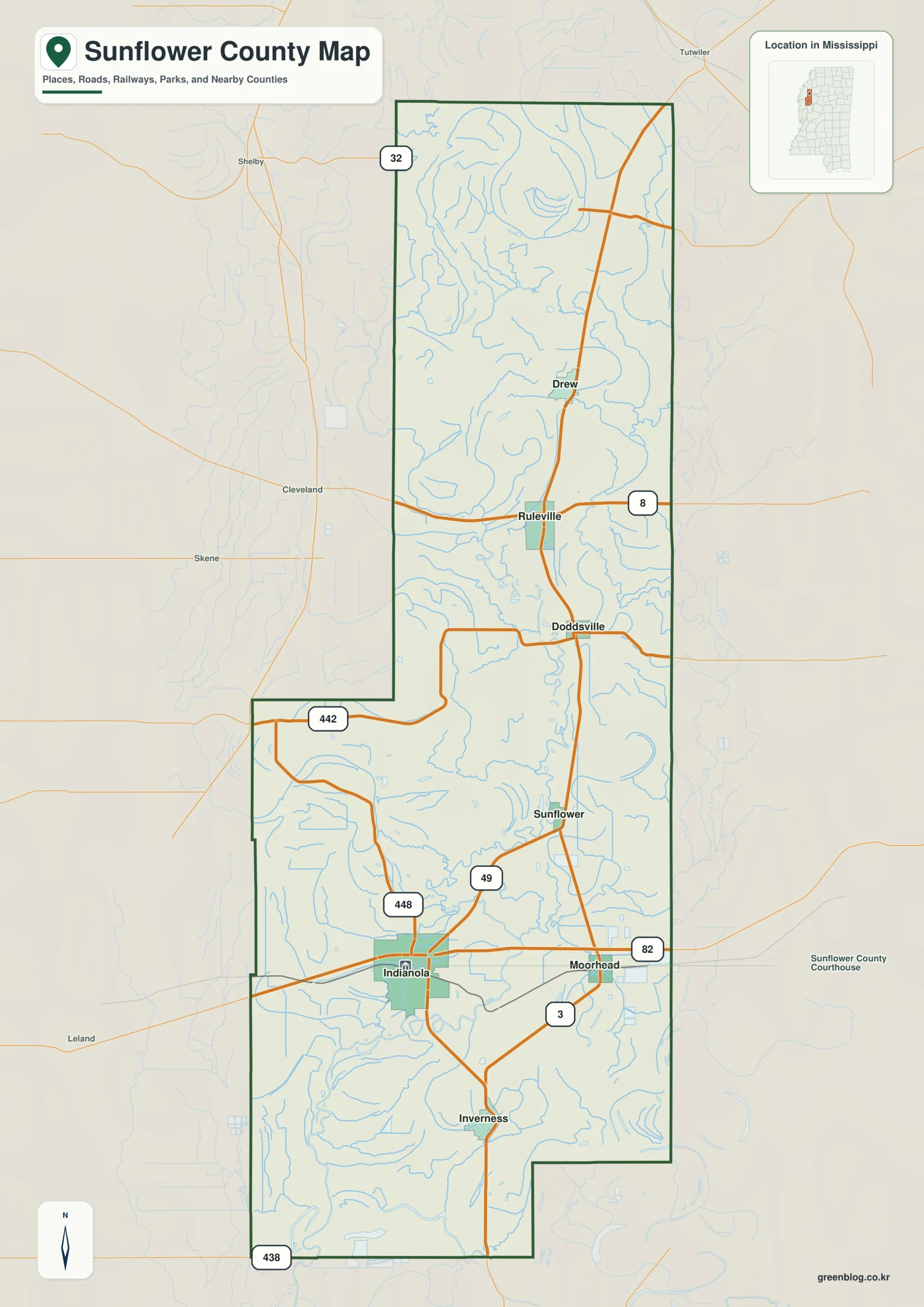
Sunflower County, Mississippi, is defined by its elongated shape and low alluvial terrain rather than mountainous relief. Understanding the region requires focusing on its winding waterways, shallow lakes, and specific road corridors that organize the landscape from north to south.
Geographic Layout and Key Communities
The county stretches significantly in length, creating a distinct northern and southern character. The northern section is anchored by Ruleville and Drew, while Indianola, Moorhead, and Inverness form a stronger cluster in the south. The City of Sunflower sits closer to the middle-south. Major transportation routes like US 49W and US 82 serve as primary north-south and east-west references, respectively. Water features such as the Big Sunflower River, Sunflower River, Quiver River, and Porter Bayou define the low landscape. The terrain lacks elevation changes, meaning rivers and bayous provide the most useful geographic structure for navigation.
Demographics and Regional Context
According to 2020 Census data, Sunflower County had a population of 25,971 residents. A July 2025 estimate suggests the count has dropped to 22,893. The county covers 697.759 square miles of land and 9.169 square miles of water. Indianola remains the county seat and is the largest community with 9,062 residents. Other significant towns include Ruleville (2,632), Drew (2,132), Moorhead (1,439), Sunflower (976), and Inverness (740). Neighboring counties such as Coahoma to the north and Bolivar and Washington to the west help orient visitors within the broader Mississippi Delta region.


0 댓글