
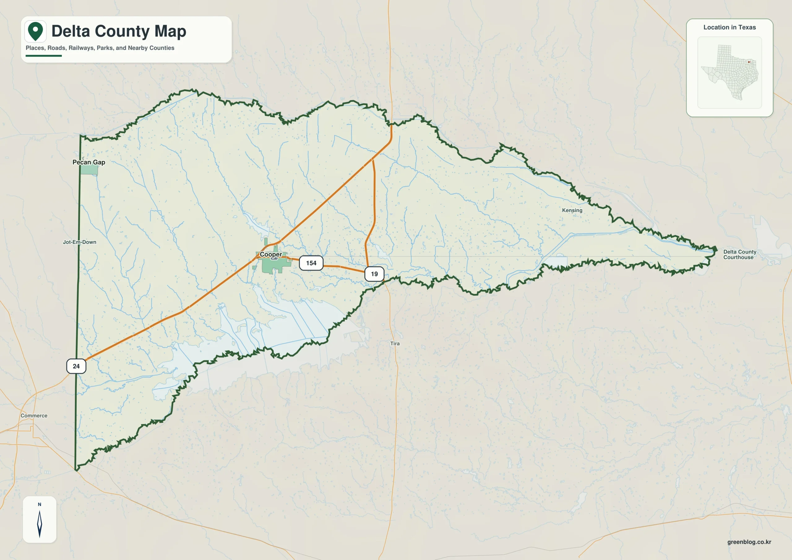
Delta County in Northeast Texas defies a standard rectangular shape, narrowing dramatically toward the east due to the Sulphur River system. This unique geography dictates everything from road placement to settlement patterns, creating a distinct contrast between the higher western lands and the lower eastern river corridor.
The Role of Water in Shaping County Boundaries
Water is the defining feature of this region. The county's irregular northern and southern edges follow the North and South Sulphur Rivers, which converge to form a long, pointed eastern boundary. Inside the county, a dense network of creeks drains the western half toward these main rivers. Cooper Lake, located on the Middle and South Forks of the Sulphur River, acts as a significant landmark that interrupts direct movement across the southern edge. The presence of Cooper State Park units along the lake further illustrates how water shapes local infrastructure, forcing access routes to follow highways around the reservoir rather than crossing it directly.
Elevation Changes and Settlement Patterns
The terrain shifts noticeably from west to east. The western side features higher ground, characterized by browns and golds on elevation maps, containing rolling ridges and shallow valleys that support a dense web of small creeks. In contrast, the eastern section drops into lower river country with smoother terrain. This gradual loss of elevation explains why settlements like Cooper sit near the center of the wider western half while Pecan Gap anchors the far-western edge. The county seat serves as a major junction for State Highways 24 and 154, but travel toward the narrow eastern tip requires navigating the lower Sulphur River drainage system.


0 댓글