
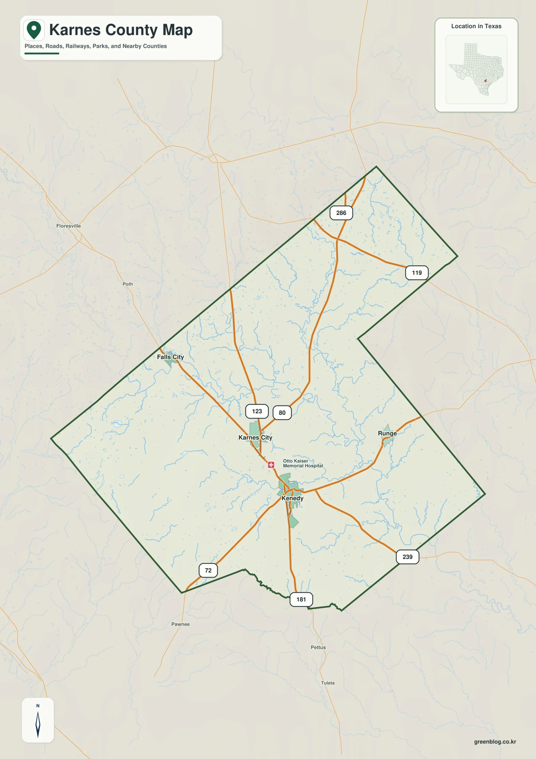
Understanding Karnes County requires viewing its towns, roads, waterways, and elevation as an interconnected system rather than isolated facts. This comprehensive set of four maps allows you to compare the location of Karnes City, Kenedy, Runge, and Falls City alongside the San Antonio River system and the county's unique terrain.
Mapping the Landscape: Towns, Routes, and Waterways
The general county map reveals that Karnes County is not a compact block but features a long northern extension. Karnes City serves as the central hub where routes 123 and 80 converge, while Kenedy lies immediately to the south along the north-south corridor leading to the 181 marker at the southern boundary. To the east sits Runge, and Falls City is positioned northwest of the county seat. The water map shifts focus entirely to the San Antonio River, which winds through the county's center, supported by tributaries like Ecleto Creek, Escondido Creek, and Panther Creek. These drainage patterns create a finely divided landscape that road maps alone cannot capture.
Elevation and Terrain: From Valleys to Ridges
The elevation map provides critical context by displaying a local range of approximately 51 to 181 meters, with a mean elevation of about 108 meters. While the broad central river corridor is characterized by lower elevations marked in green, the southwest region features notably higher terrain consisting of brown and orange ridges. By combining these visual layers, users can easily distinguish the county's branching streams, higher ridges, and the specific placement of its four main communities relative to one another.


0 댓글