
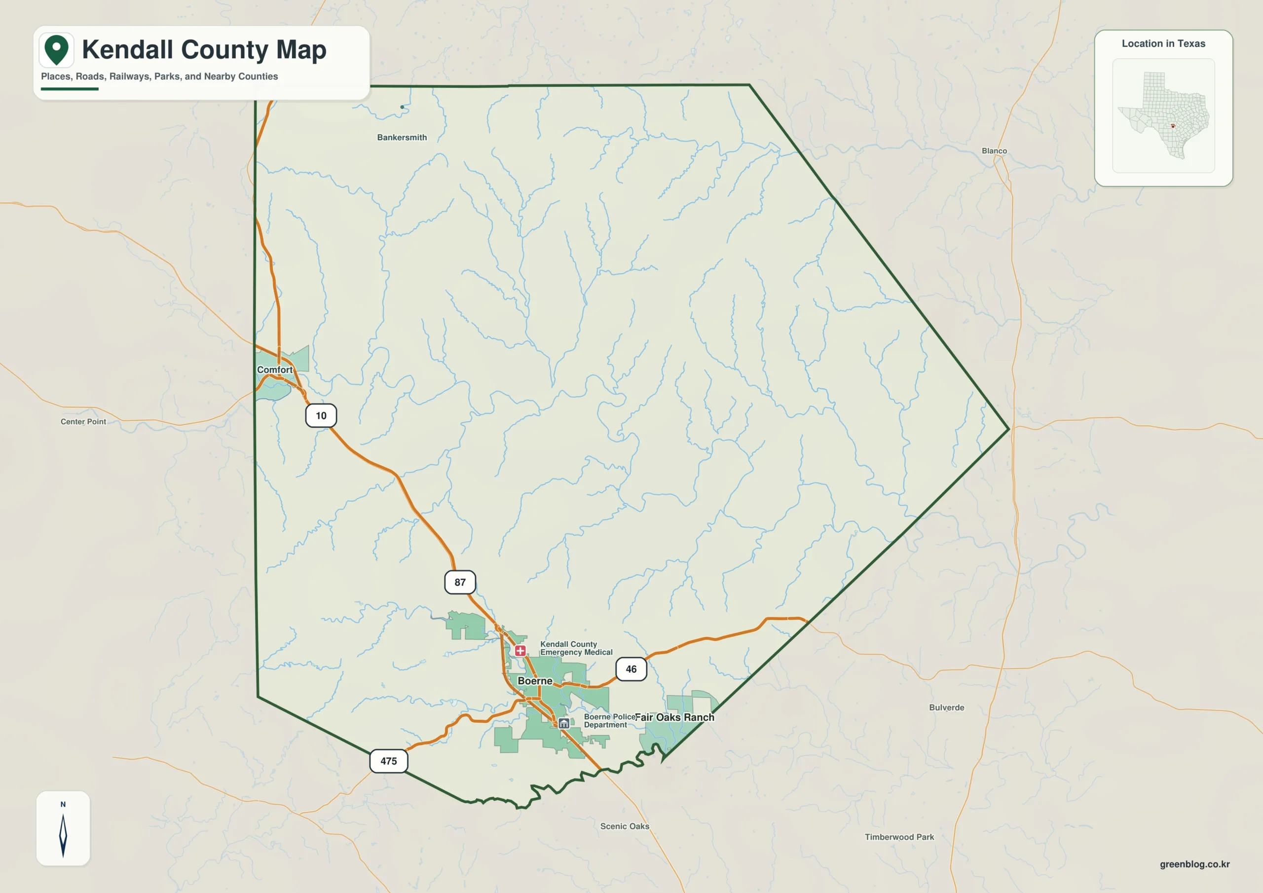
Kendall County, located northwest of San Antonio in the Texas Hill Country, offers a landscape defined by dramatic elevation changes and intricate water networks. The area is best understood not as a flat expanse, but as a region where narrow creek valleys cut through higher ridges. Boerne serves as the primary civic hub in the southern section, acting as a key reference point alongside Comfort to the northwest and Fair Oaks Ranch to the southeast.
Roads and Urban Centers
Interstate 10 acts as the dominant transportation artery, running northwest from near Comfort through Boerne toward San Antonio. State Highway 46 extends eastward from Boerne, while Route 87 and FM 475 provide additional corridors. The city-distribution map highlights Boerne's prominence as the county's main urban center, contrasting with the more dispersed settlements in the north and west. Surrounding counties like Kerr, Bexar, Blanco, Gillespie, and Comal frame Kendall County's position within the broader region.
The River Systems
Water features are central to the county's geography. The Guadalupe River winds through the center in a broad course, while the Blanco River system dominates the northern section with its East and Little Forks. Smaller tributaries such as Black Creek, Wasp Creek, Curry Creek, Big Joshua Creek, and Cibolo Creek create a dense network of drainage corridors. These waterways carve out low-lying areas between the higher ridges, visible clearly on terrain-and-water maps.
Elevation and Terrain
The elevation map reveals a significant vertical contrast across the county, ranging from 308 meters in the lower valleys to 634 meters at the highest points. The mean elevation sits at approximately 474 meters. Higher ground concentrates heavily in the northern and western parts, forming dense ridges, while the southeastern side contains more accessible, lower terrain. This relief is essential for understanding the landscape's character, which a simple boundary map would fail to capture.


0 댓글